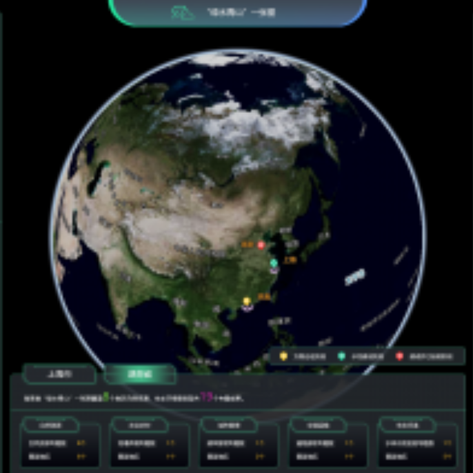
The monitoring system is applied to carry out rapid and accurate monitoring and analysis of the national ecological environment, natural resources, agriculture and rural areas, emergency management, urban construction, traffic construction and other elements, by mainly use of high-frequency satellite quantitative remote sensing big data (such as hyperspectral data) and assisting with multi-source big data such as aviation remote sensing, ground sensors, mobile Internet, social, cultural and economic data, etc.,
It is also applied to provide decision support for accurate decision-making and fine management of governments at all levels with the support of artificial intelligence technology.
The monitoring system can not only work independently, but also combine the form of components or plug-ins with the existing “digital government” or “smart city” systems in various places, becoming an effective supplement to the existing system, enriching its content and improving its service ability.