System overview and features
TR-IPS
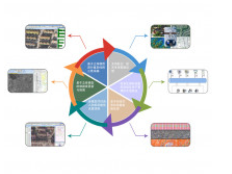
Tianrun information photogrammetry system is a set of efficient and perfect information photogrammetry solutions. The functions of the system include network engineering management, aerial photogrammetry air-three encryption, multifunctional auxiliary three-dimensional acquisition, three-dimensional interactive field mapping and updating, digital mapping and geographic information database establishment, high-precision digital elevation model generation, three-dimensional modeling, dynamic monitoring of geographical elements, production management and quality control, etc. At the same time, it supports all kinds of aerospace data sources at home and abroad, such as line array, face array, UAV, satellite, etc., and realizes the integration of photogrammetry and surveying and mapping GIS, forming a complete product service system that integrates the rapid acquisition and production, integrated management and update, sharing service and application of spatial data.
Application case
RC-30 aerial photography of Qinling 1:10000 foundation mapping project
Update and repair project of Yuanzi-3 satellite image 1:25,000 and 1:50000DLG
ADS80 aerial photography three – line array digital image aerial survey digital mapping
1:2000 Project on the Archaeology and Conservation of the Nomadic Heritage Group
ADS40 aerial photography three – line array digital image aerial survey digital mapping
1:10,000 Basic geographic information data Project
Low – altitude UAV aerial photography of small digital image digital map
1:1000 urban land change survey base map production project
DMCII and UCXP aerial photography frame digital image aerial survey digital map 1:2000 coal pipeline project
UCD aerial photography digital mapping 1: 2000 topographic map mapping and database construction project
Canadian series island dynamic monitoring project